More Snow Overnight? Check With Us For School Delays Tomorrow!
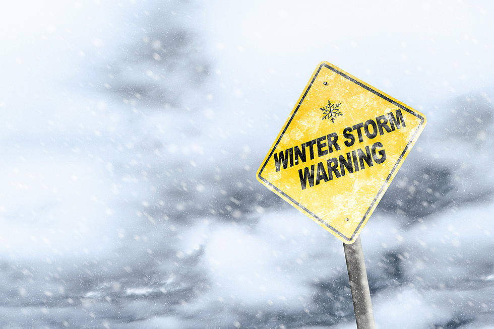
The National Weather Service has issued a Winter Weather Advisory for tonight into tomorrow. I know what you are thinking...of course! It's December!
Well, we dodged a major snowfall a few days ago and this doesn't look like much coming BUT the timing might make it perfect for some school delays in the morning.
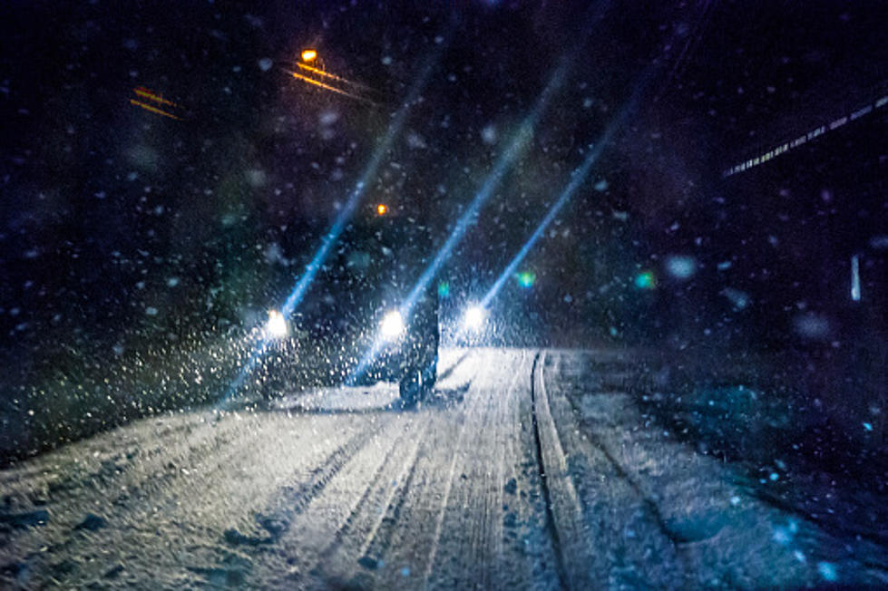
Be sure and check in regularly on this website for any school delays Monday morning, or any road condition reports. Again, it doesn't look like much but what ever we get, specifically icy roads, might happen in the morning and that could impact school transportation.
So head's up...and keep this website and your favorite Townsquare Media radio station up and on!
Here is the latest from the National Weather Service as of 10:55 am Sunday;
... WINTER WEATHER ADVISORY REMAINS IN EFFECT FROM 7 PM THIS EVENING TO 1 PM EST MONDAY...
* LOCATIONS... OTSEGO... AND DELAWARE COUNTIES.
* HAZARDS... A LIGHT WINTRY MIX TONIGHT THROUGH MIDDAY MONDAY.
* SNOW ACCUMULATIONS... 1 TO 2 INCHES... MAINLY TONIGHT.
* ICE ACCUMULATIONS... UP TO ONE TENTH OF AN INCH TONIGHT THROUGH MIDDAY MONDAY.
* TIMING... LIGHT SNOW WILL DEVELOP AFTER DARK THIS EVENING... AND THEN TRANSITION TO LIGHT FREEZING RAIN AND SLEET BETWEEN MIDNIGHT AND DAWN. LIGHT FREEZING RAIN AND FREEZING DRIZZLE WILL CONTINUE MONDAY MORNING BEFORE CHANGING TO LIGHT RAIN MIDDAY MONDAY.
* TEMPERATURES... RISING FROM MID 20S TONIGHT... TO LOWER 30S MONDAY MORNING.
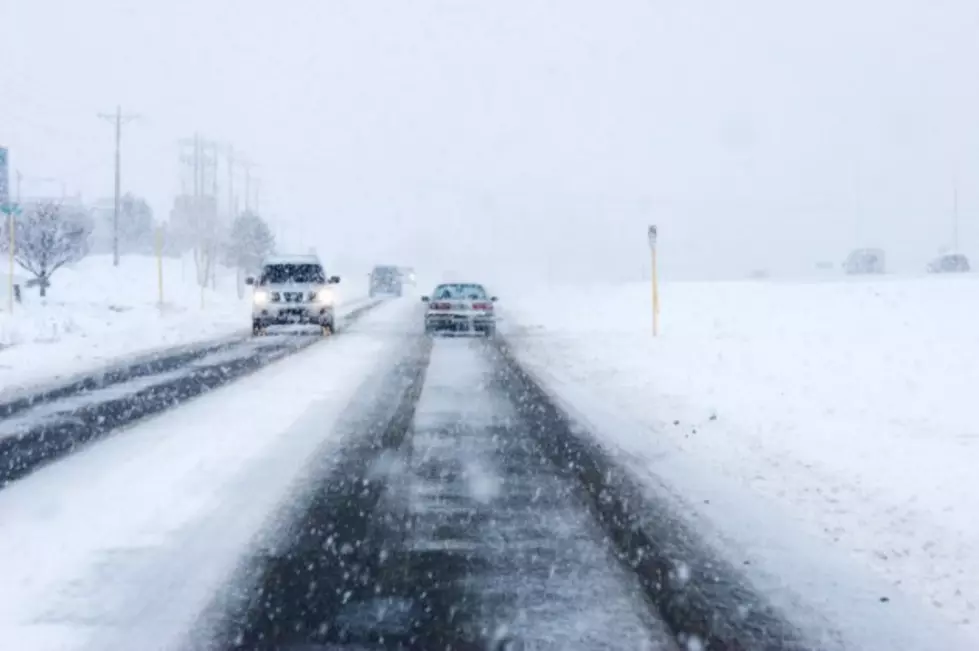
* IMPACTS... HAZARDOUS TRAVEL CONDITIONS... INCLUDING ICE ON UNTREATED ROADS.
TAKE PRECAUTIONARY/PREPAREDNESS ACTIONS...
More From CNY News