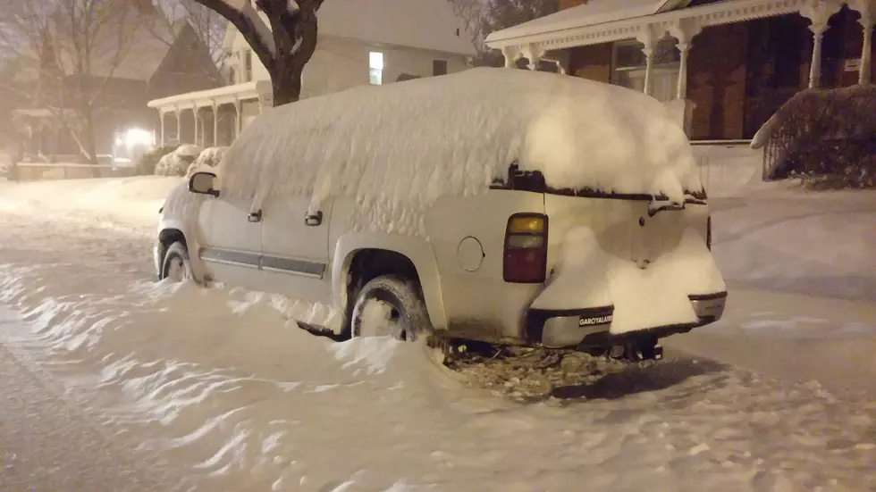
Deja Vu? Snow Storm May Dump Over 7 Inches On Central New York
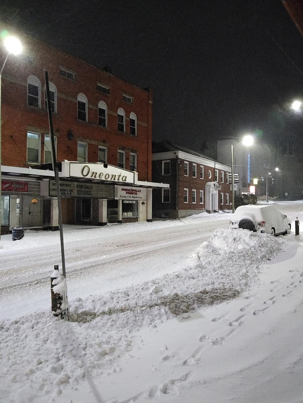
Get ready for a bit of deja vu. Our last snowstorm, a.k.a. "Izzy" in the middle of January is still fresh in our minds with a surprising amount of snow (7.4" in Oneonta) dumped on Oneonta, NY; and the surrounding area, including Chenango, Delaware, and Otsego Counties. And here we are in late February with another pending snow storm coming in Thursday night with the potential for 7 or more of the white stuff falling within a 12-hour window. Ugh.
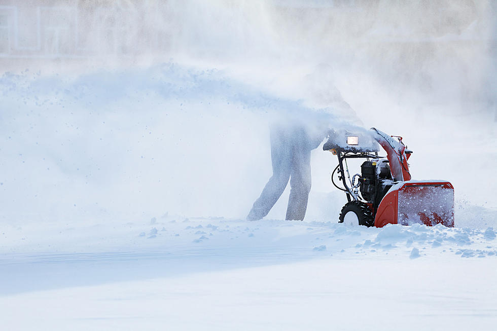
The big difference between last month's storm and this pending storm is that in January during the storm, the temperatures were very cold which meant light-weight precipitation. This time around, temperatures are expected to be warmer on Friday as the snow continues - hovering around 30. That means heavier snow and back-breaking shoveling. When snow is heavier, it's best to attempt to keep up with the snowfall and shovel more often to lessen the physical stress on your body. Also, we may get more snow than we did during "Izzy".
Here's what the National Weather Service in Binghamton is saying about the storm right now...
A Winter Storm Watch will be in effect starting at 5:00 pm Thursday night and run through Friday evening with heavy snow at times in Chenango, Delaware, and Otsego Counties. If you live in the City of Oneonta, be prepared to make sure your vehicle is not parked overnight on the street. Whenever there is a snow emergency, the city municipal lots become available to residents restriction free. For everyone else, be prepared to dig out the next morning and give yourself plenty of extra time to get to work or appointments on Friday since driving conditions are expected to be slow and precarious as the snow continues.

For the latest on this storm system, you can visit forecast.weather.gov.
remember this? Snowstorm Izzy Dumps First Real Snow on Central New York
LOOK: The most expensive weather and climate disasters in recent decades
More From WDOS-WDLA-WCHN CNY News


