Monday Morning Time Capsule: ‘Here Comes I-88!’
An arterial route was proposed way back in 1951 and eventually became part of Dwight D. Eisenhower National System of Interstate and Defense Highways in 1956. By 1968, plans were drawn up for the East/West arterial that would become known as I-88. This main thoroughfare, which skirts Oneonta and our listening area, runs from Binghamton to Schenectady, some 117 miles.
The Oneonta exits were completed in 1981. The entire highway was completed in 1989. In that same year a block of homes along Main St. near the I-88 interchange were purchased and demolished for commercial development.
An office building currently occupies that space.
This scenic highway, called by many "one of the most beautiful roads in the Northeast," makes a historic passage through some of New York's most famous areas.
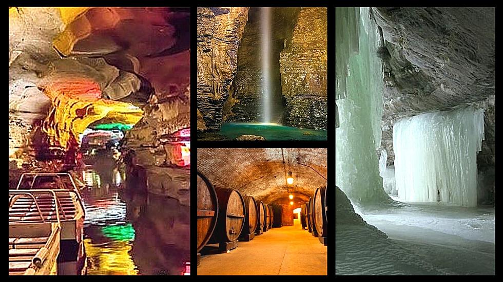
It glides through the region where General's Sullivan and Clinton waged their attacks on the native Indian villages in 1779. Among its more familiar exits are the ones in Unadilla (home of Boy Scout Troop #1), Sidney (home of one of the early economic engines of the region, Scintilla Magneto), Oneonta (home of two major colleges) and Cobleskill, where nearby Howe Caverns (Upstate's second most popular natural site) is located. And let's not forget about the Cooperstown National Baseball Hall of Fame, to where thousands migrate each summer to observe the legends of the game get inducted.
The Unadilla portion was also famously washed out in 2006 (a point we will get to later in our Monday Morning Time Capsule) and killed two drivers.
For much of the road's length it follows the Susquehanna River and crosses the northern edge of the foothills of the Catskill Mountains until it ends in Schenectady.
More From WDOS-WDLA-WCHN CNY News


