National Weather Service Says Flooding Possible Halloween Night
A strong low pressure system sweeping through the area is prompting the National Weather Service in Binghamton to issue a Flood Watch for the region from 4 p.m. October 31 through 7 p.m. November 1.
The Watch area for portions of central New York and northeast Pennsylvania, including Broome, Chenango, Cortland, Delaware, Madison, Northern Oneida, Otsego, Southern Oneida, and Tioga counties in New York. In northeast Pennsylvania, Bradford, Northern Wayne, and Susquehanna counties are in the watch area.
The National Weather Service says the steadiest and heaviest rain is expected Thursday evening. Rain tapers to showers and mainly ends during the day Friday, but runoff will continue.
NOAA says periods of rain, some heavy at times are expected. A line of thunderstorms with heavy rain is also possible Thursday evening. Storm total rainfall amounts of 2 to 3 inches are forecast in the watch area, with locally higher amounts possible.
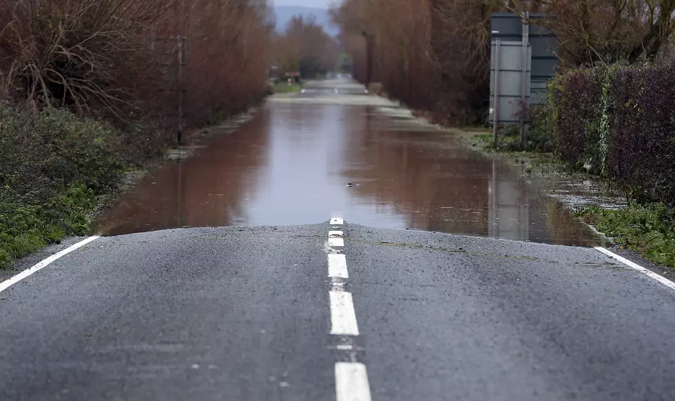
Officials caution that flooding could quickly develop along creeks, small streams, urban and in other low lying areas. Ponding of water on roadways is likely to occur.
Officials say significant rises are also expected on area rivers. A few of the headwater points on the main stem rivers are forecast to be above action stage and near minor flood stage by Friday.
A Flood Watch means there is a potential for flooding based on current forecasts.
You should monitor later forecasts and be alert for possible Flood Warnings. Those living in areas prone to flooding should be prepared to take action should flooding develop.
Weather information can be found at the National Weather Service site: weather.gov.


