
Wind Chill Warning Issued for Central New York
The National Weather Service at Binghamton has issued a Wind Chill Warning.
This warning remains in effect from midnight tonight to 7 pm Tuesday 7th January.
Locations: All of northeast Pennsylvania and central New York.
Hazards: Dangerously cold wind chill values and strong gusty winds. Wind chill readings between 25 and 35 below zero. Winds at 20 to 30 mph with gusts up to 45 mph possible.
Timing: Late tonight through Tuesday. The coldest wind chill values will occur Tuesday morning. The strongest winds will begin early tonight and continue through Tuesday before subsiding Tuesday evening.
Temperatures: Between 0 and 10 below zero Tuesday morning, rising into the single digits for highs Tuesday afternoon.
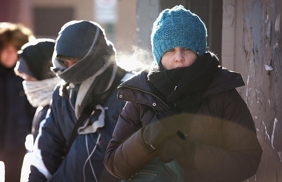
Impacts: Dangerously cold wind chills will pose a risk for frost bite and hypothermia for anyone outside for even short periods of time. This is life-threatening cold for those not in shelter. In addition, strong winds could down tree limbs, causing isolated power outages and also make travel difficult for high profile vehicles.
Precautionary/preparedness actions: A wind chill warning is issued when winds combine with bitterly cold temperatures to create extremely dangerous conditions for exposed skin. The wind chill will be cold enough to cause frostbite in about 15 minutes or less and could lead to hypothermia if proper precautions are not taken. If you must go outside remember that several layers of clothing will keep you warmer than a single heavy coat. A hat is also important as more body heat is lost through the head than any other part of the body. It is also very important to cover all exposed flesh to protect yourself from frostbite.
More From WDOS-WDLA-WCHN CNY News