
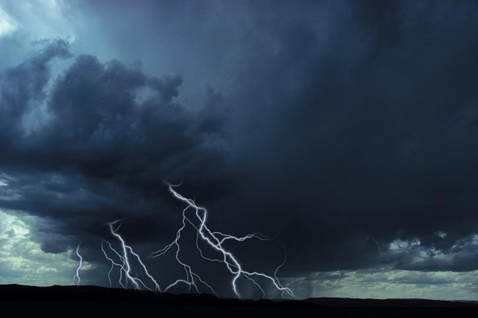
Severe Weather Possible This Afternoon & Evening
Get ready for potential severe weather to hit our Central New York region this afternoon and tonight. The National Weather Service out of Binghamton has issued the following statement...
"Thunderstorms are expected to develop and then intensify over portions of Central New York this afternoon and early evening. Locally, strong to severe storms are anticipated to first reach the following locations at these approximate times:
- Cortland, Ithaca, and Owego: 2pm to 3pm
- Norwich, Binghamton, Towanda: 3pm to 4pm
- Cooperstown, Oneonta, Montrose, Wilkes-Barre/Scranton, and Hazleton: 4-5pm
- Monticello, Honesdale, Milford: mainly after 6pm
Localized strong winds and hail could well accompany these storms with an isolated tornado even possible. Heavy downpours are also foreseen with any repeated storm development over the same locations capable of producing localized flash flooding."
Please stay tuned to your radio or check this website for the latest updates. If the severe weather or heavy rain threats become more concrete later today, then watches and/or warnings would be issued.
More From WDOS-WDLA-WCHN CNY News